
Title
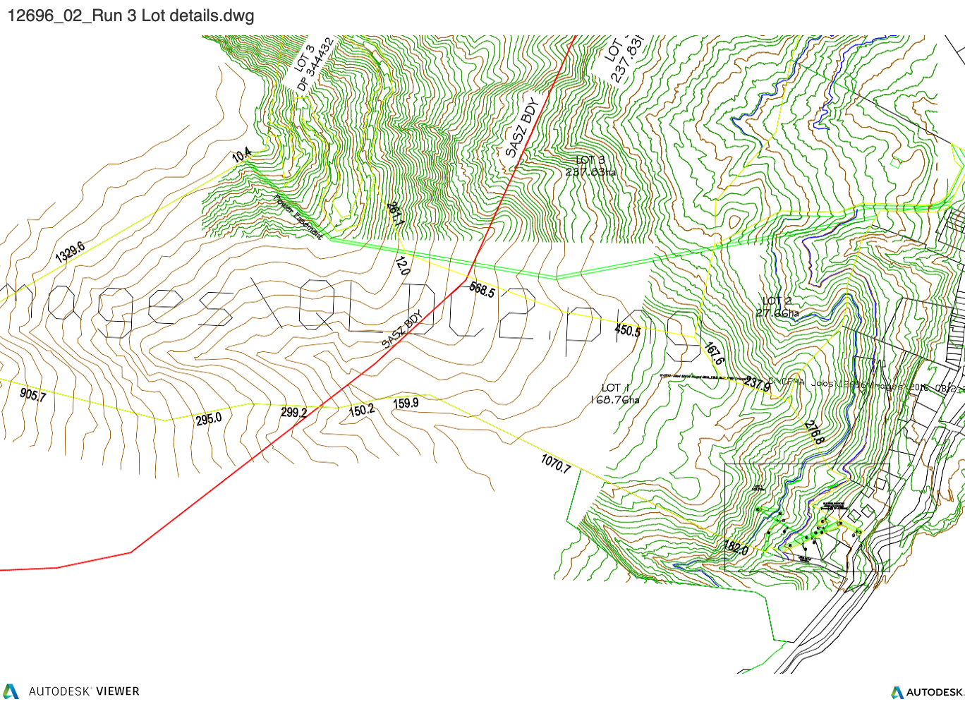
Mount Cardrona Station access
The intentions of the vendor is to secure access to the Mt Cardrona Station for the purchasers of Run 3 including access to walking and mountain biking trails.
The area covers 251ha and spans the majority of the northern boundary of the Run 3 site, and will be administered by the Mount Cardrona Station Residents Society. This area is shaded in green in the below map
Consents
Water
In order to enable the tarns to be created, a non-consumptive supplementary water take permit has been obtained. This allows water to be taken from Little Meg Creek at the southeastern end of the property and piped through to the proposed tarns. This flow is then piped into the ephemeral stream at the western corner of the property.
As of right, potable water for the lodge can be taken from this take, detailed in the permit below
Access Road
Access to site is by a dedicated access road from the base of the Cardrona Valley via Miners Rise. The road currently is only formed part way to the proposed building platform. Consent has been gained to upgrade the road as indicated on the renders.
Alternative Road Access
Building Platforms
An existing building platform consent exists at the base of the site adjacent to Miner’s Rise.
Existing Building platform consent
Non objection covenants
Non objection consents have been secured from Miner’s Rise neighbours